Share on Facebook
 Share on X
 Share by Email
 Share on Google Classroom
Floods occur when water levels rise in rivers, lakes and oceans. Floods are the most common natural hazard in the country and among the most expensive. Canada has had many historic floods. Many of the worst floods are on major rivers that pass through populated areas. Climate change increases the risk of flooding, especially near coasts.
This article is a plain-language summary of floods in Canada. If you are interested in reading about this topic more in depth, please see our full-length entry, Floods in Canada.
Why Do Floods Happen?
Rivers, lakes and ocean coasts can flood. In Canada, spring is the peak flood season.
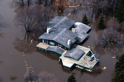
Rivers flood when they receive large amounts of water from heavy rain or snowmelt, or when barriers break. This is often worse around urban areas. When soil and plants are replaced by roads and buildings, water ends up in rivers instead of being absorbed by the soil and plants. During severe storms, water levels can rise quickly. With snowmelt, water levels rise slowly. This means there is more time to construct barriers or to evacuate. Floods can also happen when rivers get blocked by ice. Then, because of the ice jam, the river can overflow. The ice jam can also break, leading to sudden floods.
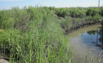
Lake flooding is usually slower. It is more common when natural shorelines (see Living Shorelines) are damaged or when buildings are too close to the lake edge. This is common around the Great Lakes.
Ocean coasts can also flood. Very high tides, storm surges and tsunamis are usually the cause. Tsunamis sometimes happen on the West Coast. Storm surges from hurricanes sometimes happen on the East Coast. Hurricanes are expected to become stronger due to climate change.
Climate change is likely to increase flooding across Canada due to extreme storms, changing weather patterns and sea level rise.
How Are Floods Controlled?
Disaster management and disaster relief are important for making floods less harmful, deadly and expensive.
A common older strategy to control floods is to create barriers. Dams, dikes and diversion channels try to keep water from overflowing. In Canada, many homes and businesses have been built on floodplains behind flood barriers. However, during very bad weather, the barrier can break or water can go over it, leading to a more damaging flood than if the building had not been built on the flood plain in the first place.
Canada has mapped which areas are at risk of flooding. Policies, regulations and bylaws are often based on these maps. Building new homes and businesses in these flood zones is not recommended, but still happens. Instead, leaving parks, open spaces and wildlife habitats is recommended.
Today, choosing to build in places that do not flood is considered a better option than trying to control floods with barriers.
Historic Floods in British Columbia
The Fraser River valley in British Columbia is where the province's worst flood occurred. The largest flood occurred in May 1894, driven by snowmelt. The second largest occurred in spring 1948. This one was more damaging because more people now lived in the area. Some 16,000 people were evacuated. Today, this area is protected by dikes.

Historic Floods in the Prairies
Alberta and Saskatchewan
Some of the worst floods in this region have been recent.
In the spring of 2005, heavy rain caused many rivers in southern Alberta to flood. More than 7,000 people were evacuated. The flood caused $400 million in damage and is among the most expensive in Alberta's history.
In 2010, Saskatoon received a record-breaking 645 mm of rain between April and September. This made many rivers flood. In Saskatchewan and Alberta, 2,000 people were evacuated over that summer. This heavy rain also lowered crop yields.
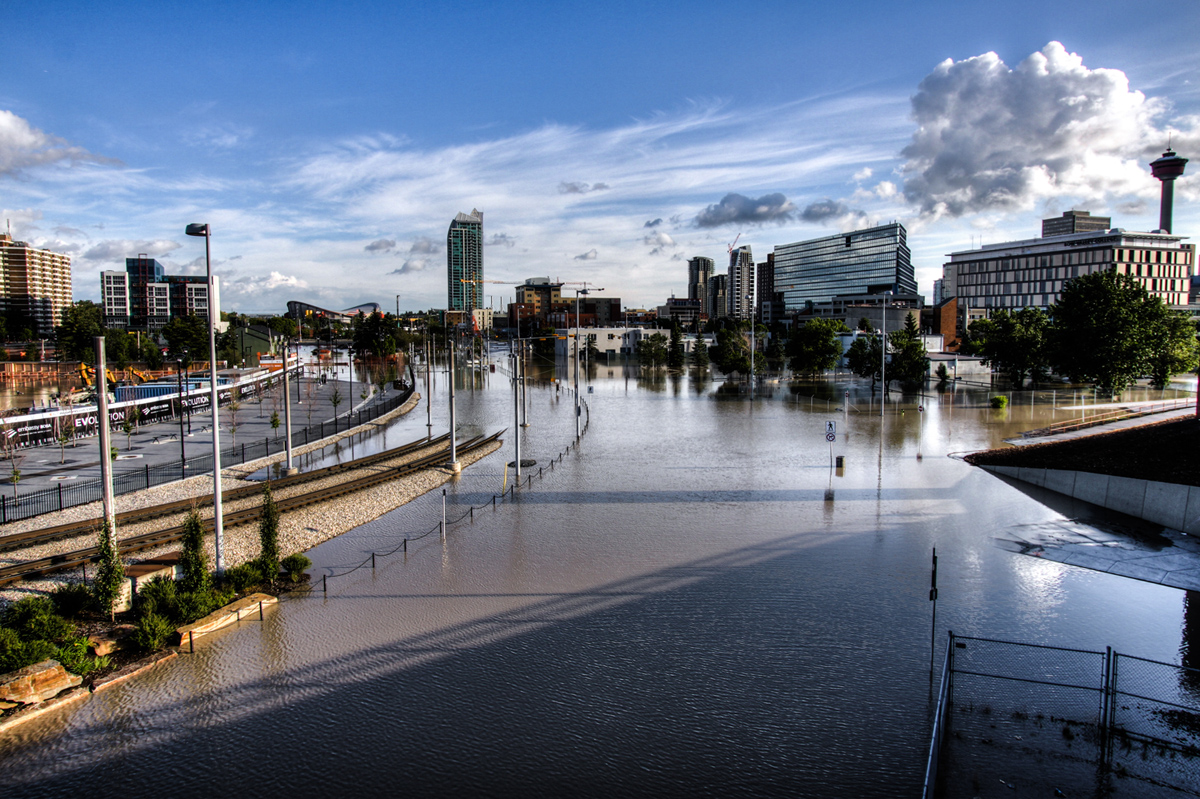
In the spring of 2013, the Bow River near Calgary flooded from snowmelt and rain. Some 100,000 people were evacuated, and four people drowned. In Calgary, 3,000 buildings were flooded. The flood cost $6 billion in damages.
Manitoba
Red River in Manitoba is one of the most flood-prone areas in Canada. This area is flat and wide, receiving snowmelt and water from a large area.
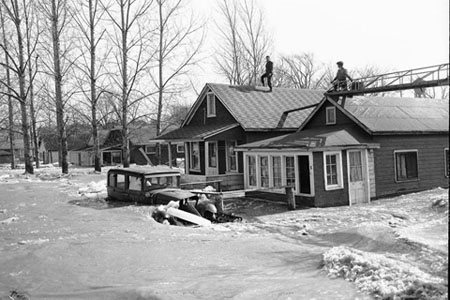
In May 1950, one-sixth of Winnipeg and many nearby small towns were flooded. Over 100,000 people were evacuated. Floodways have been built to prevent this, but rural areas remain vulnerable.
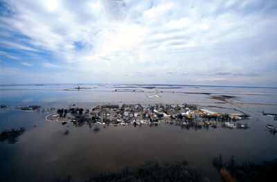
The “Flood of the Century” occurred in May 1997 around the Red River. This was the largest flooding of this river since 1826. Some 1,800 km2 of land was flooded, and 30,000 people were evacuated. Some 7,000 troops were sent to help (see Red River Flood).

Historic Floods in Ontario
In October 1954, heavy rains because of Hurricane Hazel flooded the Don and Humber rivers in Toronto. More than 80 people died. Since then, some buildings have been removed from these rivers' floodplains.
Historic Floods in Quebec
In July 1987, heavy rain led to a flash flood around Montreal. Most of the city lost power, about 40,000 homes were flooded, and two people died.
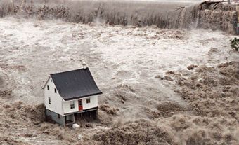
On 20–21 July 1996, the Saguenay region flooded after a storm. The storm was so bad that water overflowed the dams. This flooding was especially bad because homes and businesses had been built on land that was supposed to be protected by the dams. About 16,000 people were evacuated, and 10 people died (see Saguenay Floods Kill 10; Saguenay River).

Historic Floods in the Atlantic Provinces
New Brunswick
In 1902, ice jams in the Saint John River basin caused floods that killed two people and damaged infrastructure. In 1936, ice jams caused $2 million in damage.
Nova Scotia
In January 1956, flooding occurred provincewide due to warm temperatures that led to heavy snowmelt and ice jams. This flooding destroyed over 100 bridges. Large storms can also lead to flooding in Nova Scotia. Hurricane Beth in August 1971 and the “Groundhog Day Storm” in February 1976 caused over $12 million in combined damage.
Newfoundland and Labrador
On 18 November 1929, a tsunami hit the Burin Peninsula, killing 27 people and causing widespread damage. Mainland Canada did not hear of the disaster until three days later.

Prince Edward Island
In September 1999 and March 2003, serious rainstorms caused flooding. These floods caused $1.4 and $2.4 million in damages, respectively.
Historic Floods in the North
Yukon
In May 1979, the Yukon River flooded due to an ice jam. In Dawson City, 80 per cent of buildings were flooded, causing $1.85 million in damage.
Northwest Territories
On 27 May 2006, Aklavik, on the Mackenzie River, was flooded due to ice melt from the Peel Channel. This flood cost $3.1 million in damages.
Nunavut
On 8–9 June 2008, Pangnirtung, on Baffin Island, flooded. Snowmelt and rain cut deep channels in the permafrost and eroded the foundations of two bridges. Roads and other infrastructure were damaged, leading to nearly $5 million in damage.