
Browse "Provinces & Territories"
-
Article
Red River Resistance
The Red River Resistance (also known as the Red River Rebellion) was an uprising in 1869–70 in the Red River Colony. The resistance was sparked by the transfer of the vast territory of Rupert’s Land to the new Dominion of Canada. The colony of farmers and hunters, many of them Métis, occupied a corner of Rupert’s Land and feared for their culture and land rights under Canadian control. The Métis mounted a resistance and declared a provisional government to negotiate terms for entering Confederation. The uprising led to the creation of the province of Manitoba, and the emergence of Métis leader Louis Riel — a hero to his people and many in Quebec, but an outlaw in the eyes of the Canadian government.
"https://d3d0lqu00lnqvz.cloudfront.net/media/media/f0a1f84f-c420-4038-8815-42587e295b75.jpg" // resources/views/front/categories/view.blade.php
https://d3d0lqu00lnqvz.cloudfront.net/media/media/f0a1f84f-c420-4038-8815-42587e295b75.jpg
-
Article
Reform Movement in Upper Canada
After the War of 1812, Upper Canada began to develop rapidly. This resulted in social and economic tensions and political issues. These included the expulsion of Robert Gourlay, the Alien Question, the Anglican monopoly of the Clergy Reserves and education, and Tory control of patronage.
"https://d3d0lqu00lnqvz.cloudfront.net/media/media/9e9e3848-d959-4713-9a6f-8747181ebc24.jpg" // resources/views/front/categories/view.blade.php
https://d3d0lqu00lnqvz.cloudfront.net/media/media/9e9e3848-d959-4713-9a6f-8747181ebc24.jpg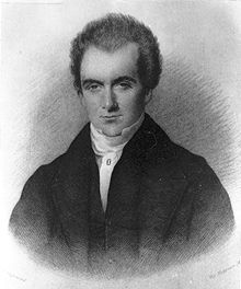
-
Article
Reserves in British Columbia
As of 2019, there were 1,583 reserves in British Columbia associated with 203 Indigenous Nations (see also First Nations in British Columbia). Unlike many other parts the country, where reserves resulted from treaties made between the federal government and Indigenous Nations, most reserves in BC were created without such negotiations. Only two general locations in BC are covered by historic treaties: parts of Vancouver Island are covered by the Douglas Treaties, and the northeast corner of the province by Treaty 8. In BC as with other parts of the country, reserves are bound by the terms of the Indian Act. However, given the number of Indigenous Nations without a treaty in BC, the province has implemented a modern treaty negotiation process. Several BC Indigenous communities have used this process or other means to negotiate self-governing agreements. These agreements place decision-making authority over land management in the hands of Indigenous governments.
"https://d3d0lqu00lnqvz.cloudfront.net/ReservesInBC/TribalCanoeJourney.jpg" // resources/views/front/categories/view.blade.php
https://d3d0lqu00lnqvz.cloudfront.net/ReservesInBC/TribalCanoeJourney.jpg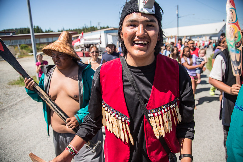
-
Article
Resistance and Residential Schools
Residential schools were government-sponsored religious schools that many Indigenous children were forced to attend. They were established to assimilate Indigenous children into Euro-Canadian culture. Indigenous parents and children did not simply accept the residential-school system. Indigenous peoples fought against – and engaged with – the state, schools and other key players in the system. For the duration of the residential-school era, parents acted in the best interests of their children and communities. The children responded in ways that would allow them to survive.
"https://d3d0lqu00lnqvz.cloudfront.net/ResistanceandResidentialSchools/a101771-v8.jpg" // resources/views/front/categories/view.blade.php
https://d3d0lqu00lnqvz.cloudfront.net/ResistanceandResidentialSchools/a101771-v8.jpg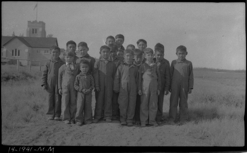
-
Article
Saskatchewan (Province)
Saskatchewan is part of the Prairie region and is the only province with entirely artificial boundaries. It is bordered by the US to the south, the Northwest Territories to the north, and Manitoba and Alberta to the east and west respectively. It was created from the Northwest Territories in 1905, at the same time as Alberta, and shares with that province the distinction of having no coast on salt water. The name, which was first used officially for a district of the Northwest Territories in 1882, is derived from an anglicized version of a Cree word, kisiskâciwanisîpiy, meaning “swiftly flowing river.”
"https://d3d0lqu00lnqvz.cloudfront.net/media/media/70c52f68-faf0-4d61-b849-c0bf34342d19.jpg" // resources/views/front/categories/view.blade.php
https://d3d0lqu00lnqvz.cloudfront.net/media/media/70c52f68-faf0-4d61-b849-c0bf34342d19.jpg
-
Timelines
Saskatchewan
Saskatchewan is part of the Prairie region and is the only province with entirely artificial boundaries. It is bordered by the US to the south, the Northwest Territories to the north, and Manitoba and Alberta to the east and west respectively.
"https://d3d0lqu00lnqvz.cloudfront.net/media/media/dc2050ae-b79f-4f42-9cb0-d37a157abffa.jpg" // resources/views/front/categories/view.blade.php
https://d3d0lqu00lnqvz.cloudfront.net/media/media/dc2050ae-b79f-4f42-9cb0-d37a157abffa.jpg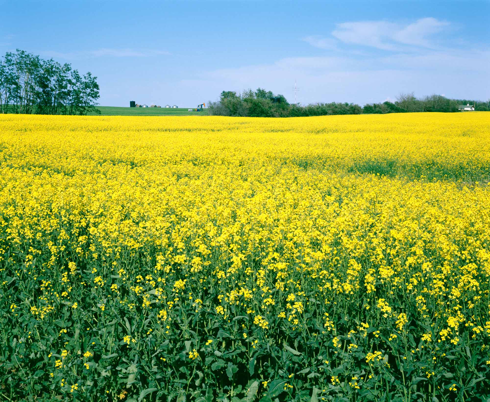
-
Article
Triangular Trade
The triangular trade was a trade route connecting France, New France and the West Indies. It was established by France’s comptroller general of finance, Jean-Baptiste Colbert, and applied in Canada in 1667 by Jean Talon, the intendant of New France. The triangular trade enabled New France to diversify its economy and establish its position on the international trade networks.
"https://d3d0lqu00lnqvz.cloudfront.net/media/media/e010947298-v8.jpg" // resources/views/front/categories/view.blade.php
https://d3d0lqu00lnqvz.cloudfront.net/media/media/e010947298-v8.jpg
-
Timelines
Yukon
Lying in the northwestern corner of Canada and isolated by rugged mountains, the Yukon borders Alaska to the west, British Columbia to the south and the Northwest Territories to the east. Historically, it is indelibly associated with the great Klondike Gold Rush.
"https://d3d0lqu00lnqvz.cloudfront.net/media/media/fcaa1cbf-b998-4bea-aea8-95e86b2e468d.jpg" // resources/views/front/categories/view.blade.php
https://d3d0lqu00lnqvz.cloudfront.net/media/media/fcaa1cbf-b998-4bea-aea8-95e86b2e468d.jpg