
Browse "Cities & Populated Places"
-
Article
Nahanni Butte
Nahanni Butte, Northwest Territories, settlement, population 81 (2021 census), 87 (2016 census).
"https://thecanadianencyclopedia.ca/images/tce_placeholder.jpg?v=e9dca980c9bdb3aa11e832e7ea94f5d9" // resources/views/front/categories/view.blade.php
https://thecanadianencyclopedia.ca/images/tce_placeholder.jpg?v=e9dca980c9bdb3aa11e832e7ea94f5d9
-
Article
Nain
Nain, NL, incorporated as a town in 1970, population 1188 (2011c), 1034 (2006c). The Town of Nain is the most northerly community on the Labrador coast.
"https://thecanadianencyclopedia.ca/images/tce_placeholder.jpg?v=e9dca980c9bdb3aa11e832e7ea94f5d9" // resources/views/front/categories/view.blade.php
https://thecanadianencyclopedia.ca/images/tce_placeholder.jpg?v=e9dca980c9bdb3aa11e832e7ea94f5d9
-
Article
Nakusp
Nakusp, British Columbia, incorporated as a village in 1964, population 1,605 (2016 census), 1,569 (2011 census). The village of Nakusp is located on the east shore of Upper Arrow Lake at the foot of the Selkirk Mountains. It is in the West Kootenay district of south-eastern British Columbia. Nakusp is located on the traditional territory of the Sinixt, Ktunaxa, Secwepemc and Okanagan peoples. (See also Interior Salish.) The name is derived from a Sinixt word, though its meaning is debated. One interpretation is that the name Nakusp comes from a word meaning “the bay behind the long point,” another is that it means, “closed-in” or “safe.”
"https://thecanadianencyclopedia.ca/images/tce_placeholder.jpg?v=e9dca980c9bdb3aa11e832e7ea94f5d9" // resources/views/front/categories/view.blade.php
https://thecanadianencyclopedia.ca/images/tce_placeholder.jpg?v=e9dca980c9bdb3aa11e832e7ea94f5d9
-
Article
Nanaimo
Nanaimo, BC, incorporated as a city in 1874, population 83 810 (2011c), 78 692 (2006c).
"https://d3d0lqu00lnqvz.cloudfront.net/media/media/cabaef9d-ff42-41e5-bfd9-1ef1705f926c.jpg" // resources/views/front/categories/view.blade.php
https://d3d0lqu00lnqvz.cloudfront.net/media/media/cabaef9d-ff42-41e5-bfd9-1ef1705f926c.jpg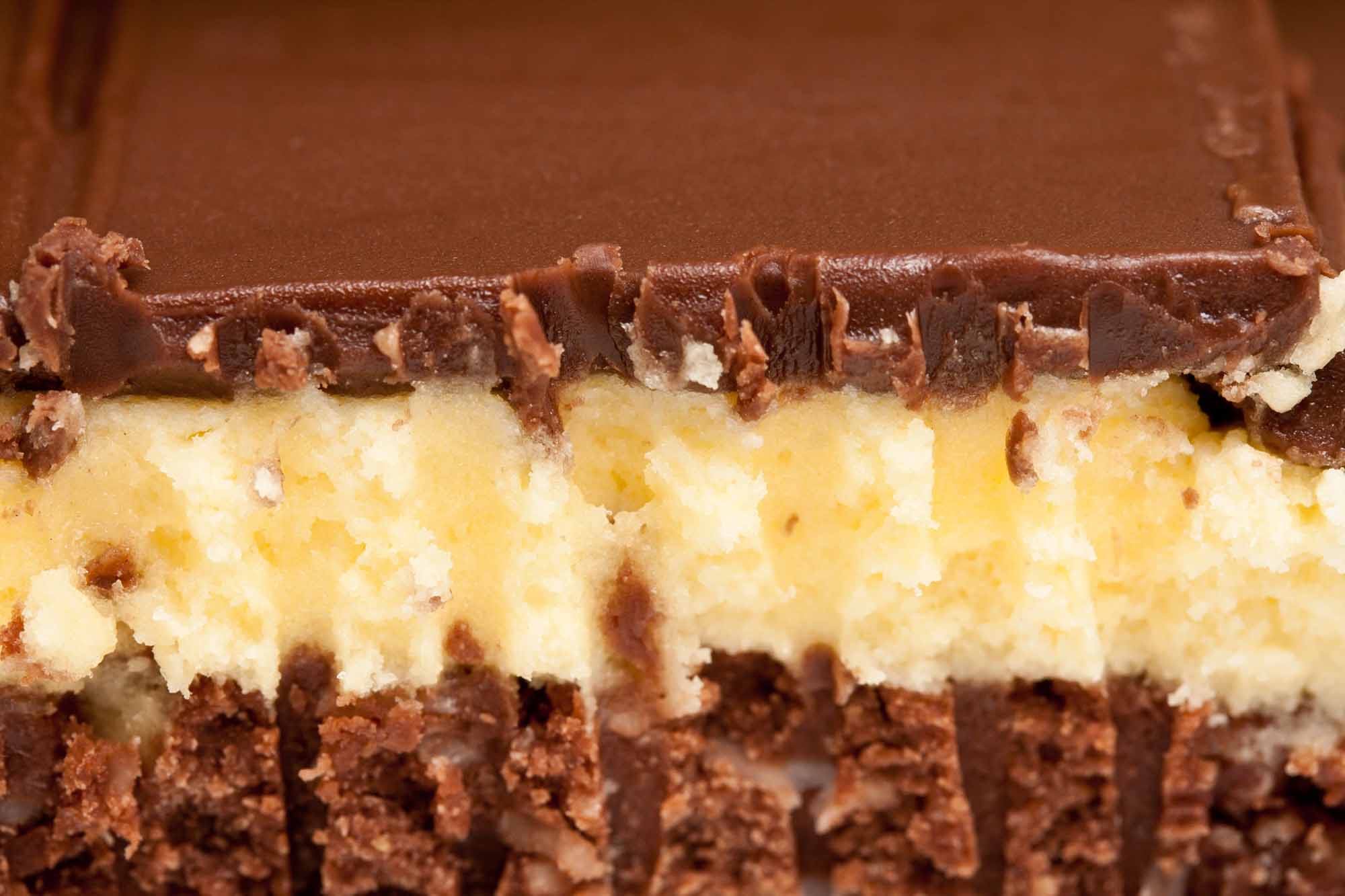
-
Article
Nanisivik
Nanisivik, Nunavut, is a settlement located on the south shore of Strathcona Sound on the Borden Peninsula of Baffin Island, 280 km northwest of Iqaluit.
"https://thecanadianencyclopedia.ca/images/tce_placeholder.jpg?v=e9dca980c9bdb3aa11e832e7ea94f5d9" // resources/views/front/categories/view.blade.php
https://thecanadianencyclopedia.ca/images/tce_placeholder.jpg?v=e9dca980c9bdb3aa11e832e7ea94f5d9
-
Article
Neepawa
Neepawa, Manitoba, incorporated as a town in 1883, population 3629 (2011c), 3298 (2006c). The Town of Neepawa on the fertile "Beautiful Plains," is 175 km west of Winnipeg.
"https://thecanadianencyclopedia.ca/images/tce_placeholder.jpg?v=e9dca980c9bdb3aa11e832e7ea94f5d9" // resources/views/front/categories/view.blade.php
https://thecanadianencyclopedia.ca/images/tce_placeholder.jpg?v=e9dca980c9bdb3aa11e832e7ea94f5d9
-
Article
Neguac
Neguac, NB, incorporated as a village in 1967, population 1678 (2011c), 1623 (2006c). The Village of Neguac is located in northeast New Brunswick near the head of Miramichi Bay, 41 km northeast of Miramichi.
"https://d3d0lqu00lnqvz.cloudfront.net/media/media/916d6c3d-9da2-4e33-bdc6-70bb07dfa1b5.jpg" // resources/views/front/categories/view.blade.php
https://d3d0lqu00lnqvz.cloudfront.net/media/media/916d6c3d-9da2-4e33-bdc6-70bb07dfa1b5.jpg
-
Article
Nelson
Nelson, BC, incorporated as a city in 1897, population 10 230 (2011c), 9258 (2006c). The City of Nelson, named after Hugh Nelson, lieutenant-governor of BC, overlooks the west arm of KOOTENAY LAKE. The prehistoric boundary of the INTERIOR SALISH and the KOOTENAY is nearby.
"https://thecanadianencyclopedia.ca/images/tce_placeholder.jpg?v=e9dca980c9bdb3aa11e832e7ea94f5d9" // resources/views/front/categories/view.blade.php
https://thecanadianencyclopedia.ca/images/tce_placeholder.jpg?v=e9dca980c9bdb3aa11e832e7ea94f5d9
-
Article
Nepean
Nepean, Ont, was a city (incorporated from 1978 to 2001) until it and 10 other municipalities were merged into the new city of Ottawa.
"https://d3d0lqu00lnqvz.cloudfront.net/media/media/8b6598e1-368c-4b32-9a48-972cad0adc00.jpg" // resources/views/front/categories/view.blade.php
https://d3d0lqu00lnqvz.cloudfront.net/media/media/8b6598e1-368c-4b32-9a48-972cad0adc00.jpg
-
Article
New Brunswick and Confederation
New Brunswick became one of the founding members of the Dominion of Canada on 1 July 1867 when it joined Nova Scotia, Ontario and Quebec in Confederation. Arthur Hamilton Gordon, the lieutenant-governor of New Brunswick, helped organize the Charlottetown Conference (1–9 September 1864), where a federal union of British North American colonies was first discussed. By 1865, however, a majority in the New Brunswick legislature had swung against it. Albert Smith defeated pro-Confederation premier Samuel Tilley in a snap election that year. But the Fenian Raids in 1866 fueled New Brunswick’s sense of insecurity and increased support for Confederation. After Tilley’s party won another election in 1866, the legislature voted 38–1 in favour of Confederation.
"https://d3d0lqu00lnqvz.cloudfront.net/media/media/bb8000df-c2b6-4d69-821d-db39907e5078.jpg" // resources/views/front/categories/view.blade.php
https://d3d0lqu00lnqvz.cloudfront.net/media/media/bb8000df-c2b6-4d69-821d-db39907e5078.jpg
-
Article
New Denver
New Denver, British Columbia, incorporated as a village in 1929, population 473 (2016 census), 504 (2011 census). The village of New Denver is located near the northeastern end of Slocan Lake, 100 km north of Nelson. The site was first called Eldorado, then New Denver (1892), after Denver, Colorado.
"https://thecanadianencyclopedia.ca/images/tce_placeholder.jpg?v=e9dca980c9bdb3aa11e832e7ea94f5d9" // resources/views/front/categories/view.blade.php
https://thecanadianencyclopedia.ca/images/tce_placeholder.jpg?v=e9dca980c9bdb3aa11e832e7ea94f5d9
-
Article
New Glasgow
New Glasgow, NS, incorporated as a town in 1875, population 9562 (2011c), 9455 (2006c). The Town of New Glasgow is located on the East River of Pictou 15 km southeast of Pictou.
"https://thecanadianencyclopedia.ca/images/tce_placeholder.jpg?v=e9dca980c9bdb3aa11e832e7ea94f5d9" // resources/views/front/categories/view.blade.php
https://thecanadianencyclopedia.ca/images/tce_placeholder.jpg?v=e9dca980c9bdb3aa11e832e7ea94f5d9
-
Article
New Maryland
New Maryland includes a number of historic buildings, including the Anglican church and Victoria Hall. It was the site of the last fatal duel in the province in 1821.
"https://d3d0lqu00lnqvz.cloudfront.net/media/media/d2d9fbdd-77c8-46bf-80c4-6ebaf8dab8e0.jpg" // resources/views/front/categories/view.blade.php
https://d3d0lqu00lnqvz.cloudfront.net/media/media/d2d9fbdd-77c8-46bf-80c4-6ebaf8dab8e0.jpg
-
Article
New Richmond
Although New Richmond is today about 80% French-speaking, its history is steeped in cultural diversity.
"https://d3d0lqu00lnqvz.cloudfront.net/media/media/9616645e-ad72-48e7-9556-6507df6a0e92.jpg" // resources/views/front/categories/view.blade.php
https://d3d0lqu00lnqvz.cloudfront.net/media/media/9616645e-ad72-48e7-9556-6507df6a0e92.jpg
-
Article
New Tecumseth
New Tecumseth, Ont, incorporated as a town in 1991, population 30 234 (2011c), 27 701 (2006c).
"https://thecanadianencyclopedia.ca/images/tce_placeholder.jpg?v=e9dca980c9bdb3aa11e832e7ea94f5d9" // resources/views/front/categories/view.blade.php
https://thecanadianencyclopedia.ca/images/tce_placeholder.jpg?v=e9dca980c9bdb3aa11e832e7ea94f5d9